 ARICE Metadata Catalogue
Keyword
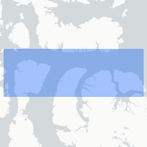
Lowther Island, Griffith Island, Resolute area ...
Type of resources
Topics
Keywords
Contact for the resource
Provided by
Formats
status
From
1
-
1
/
1
-
Onshore research was conducted using the following methods: multi-temporal analysis and mapping of modern and raised coastal systems using airphotos, satellite imagery, LiDAR and RTK surveys. Data on the sediment composition of coastal landforms was collected using graded photographs. Shallow-water mapping of transgressive coastal systems was carried out using multibeam sonar and sub-bottom profiler primarily from the CCGS Amundsen and the CSL Heron during the 2006 ArcticNet NCE scientific cruise.