 ARICE Metadata Catalogue
Coastal monitoring in Nunavut
Onshore research was conducted using the following methods: multi-temporal analysis and mapping of modern and raised coastal systems using airphotos, satellite imagery, LiDAR and RTK surveys. Data on the sediment composition of coastal landforms was collected using graded photographs. Shallow-water mapping of transgressive coastal systems was carried out using multibeam sonar and sub-bottom profiler primarily from the CCGS Amundsen and the CSL Heron during the 2006 ArcticNet NCE scientific cruise.
Simple
- Date (Publication)
- 2018-10-10
- Other citation details
-
St. Hilaire, D., Bell, T.J. and D.L. Forbes, 2006-2007. Onshore-offshore surveying and monitoring of selected arctic coastal areas of Nunavut. Unpublished data.
- Purpose
-
Coastal data were collected in the summer of 2006 and 2007 for two main purposes; 1) to characterize the morphology and sedimentology of raised-beach sequences on Lowther Island, and 2) to monitor and characterize the morphology, evolution and processes of modern coasts across a longitudinal gradient in Nunavut.
- Status
- Under development
Canadian Cryospheric Information Network
-Polar Data Catalogue
200 University Avenue West, University of Waterloo
,Waterloo
,Ontario
,N2L 3G1
,Canada
polardata.ca
-
Polar Data Catalogue Thesaurus (Canada)
-
-
Coastal dynamics
-
Morphology
-
Multibeam
-
Nunavut
-
Sediments
-
- Place
-
-
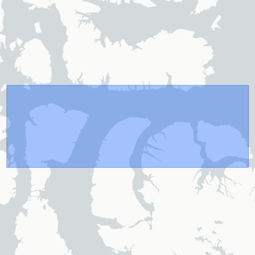
Lowther Island, Griffith Island, Resolute area ...
-
- Access constraints
- Other restrictions
- Use constraints
- Other restrictions
- Other constraints
-
Terms of Use of the Polar Data Catalogue: https://www.polardata.ca/pdcinput/public/termsofuse
- Metadata language
-
eng; CAN
- Topic category
-
- Environment
))
- Begin date
- 2006-07-15
- End date
- Undefined
- Supplemental Information
-
Summary: Not Applicable Research Program(s): ArcticNet. For further information: dominique.sthilaire@hotmail.com dominique.sthilaire@hotmail.com
- Distribution format
-
-
Digital file
(1.0
)
-
Canadian Cryospheric Information Network
-Polar Data Catalogue
200 University Avenue West, University of Waterloo
,Waterloo
,Ontario
,N2L 3G1
,Canada
- Included with dataset
- No
- File identifier
- ccc78735-59ff-46e7-bbab-ccaa5f18f852 XML
- Metadata language
-
eng; CAN
- Character set
- UTF8
- Hierarchy level
- Dataset
- Date stamp
- 2022-04-08T13:01:12
- Metadata standard name
-
North American Profile of ISO 19115:2003
- Metadata standard version
-
2009-01-01
Canadian Cryospheric Information Network
-Polar Data Catalogue
200 University Avenue West, University of Waterloo
,Waterloo
,Ontario
,N2L 3G1
,Canada
Overviews
Spatial extent
Provided by
